
DRONE (UAV) & Cartography
How to use a drone for 3D modeling for civil applications?
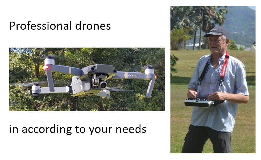
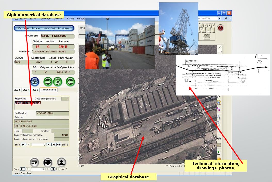
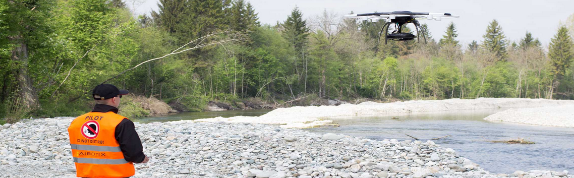
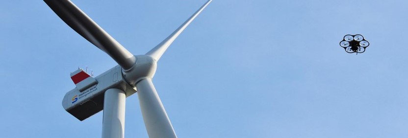
Equipment
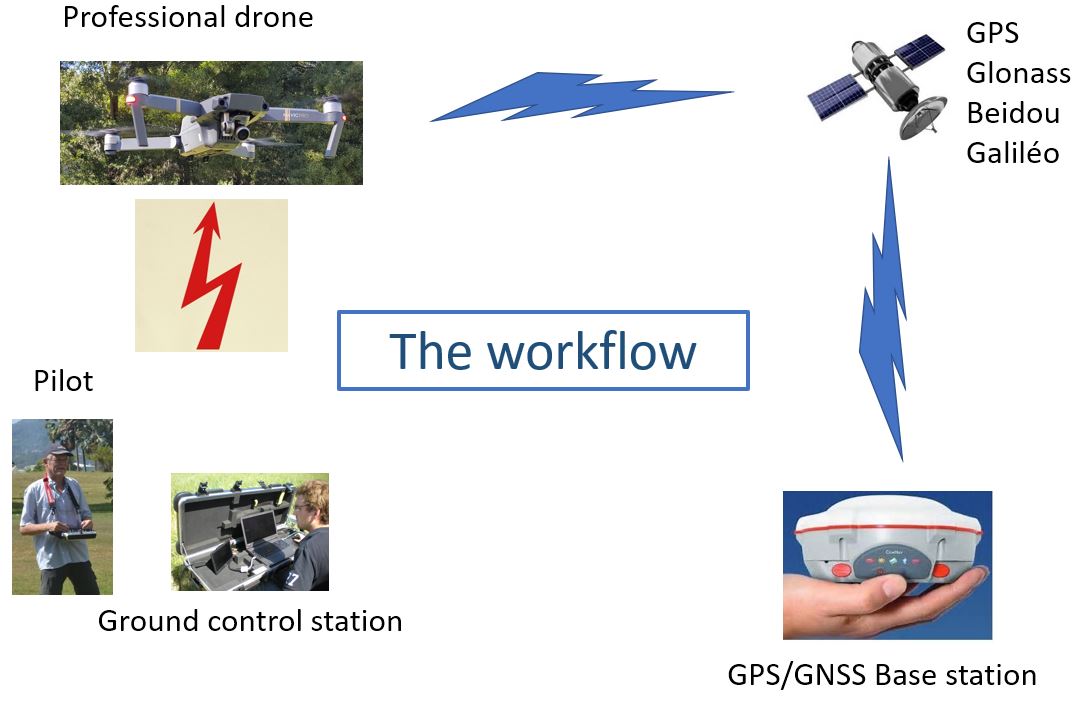
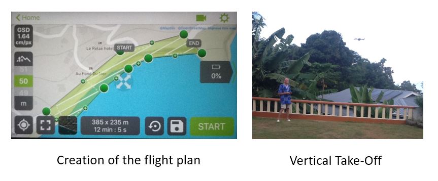
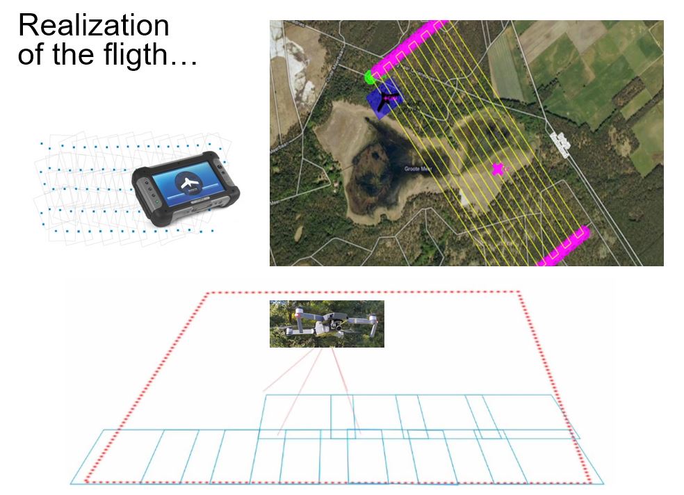
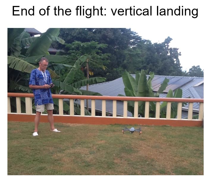
Methodology
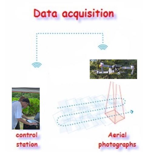
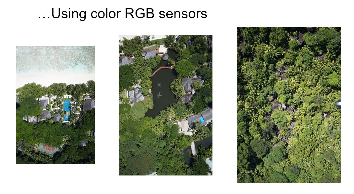
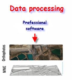
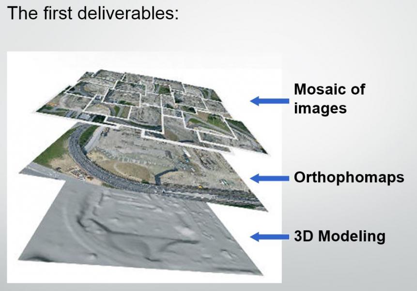
Data processing
Application fields
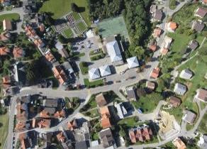
→ Town planning
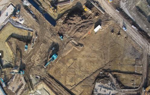
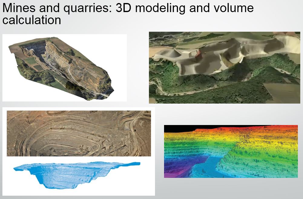
→ Mines & quarries
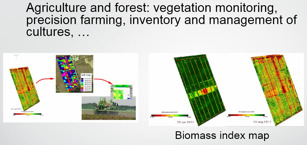
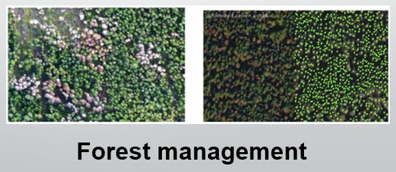
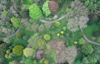
→ Agriculture & forest
→ Infrastructure management
→ Disasters management, costal erosion, inspection tasks
Below are some of our achievements.